Subsurface imaging for smarter
engineering decisions.
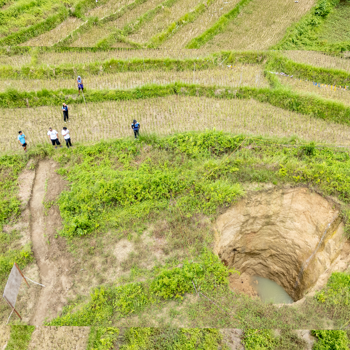
Groundwatch provides geophysical surveys and subsurface investigation support for engineering, infrastructure, renewable energy, mining, groundwater, and environmental projects across the Philippines.
Philippines-wide field workERI · Seismic · GPR · MagneticEngineering-ready reportsNon-invasive — no drilling
Technical, field-ready reporting designed to reduce uncertainty before drilling, excavation, construction, or asset development.
Scroll
Why Clients Call Us
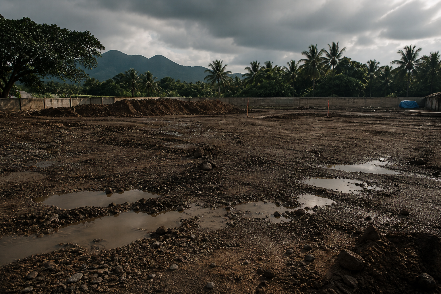
Unknown ground conditions create delay, risk, and avoidable cost.
Boreholes provide direct data, but only at specific points. Geophysics helps investigate the space between boreholes and supports a better ground model before decisions are locked in.
Hidden soft ground, underground water, cavities, buried utilities, fractures, weak zones, and variable rock depth can trigger redesigns, delays, claims, and safety issues.
Groundwatch helps reduce that uncertainty with measured, interpreted subsurface imaging that is correlated with boreholes, geology, and project objectives.
What geophysics adds
Between boreholes: It investigates the space that direct drilling cannot cover.
Hidden risk: It reveals weak zones, water, cavities, and buried constraints before they appear in construction.
Decision support: It helps teams choose better borehole locations, excavation plans, and validation steps.
Results
Clear outputs for engineers, owners, and decision makers.
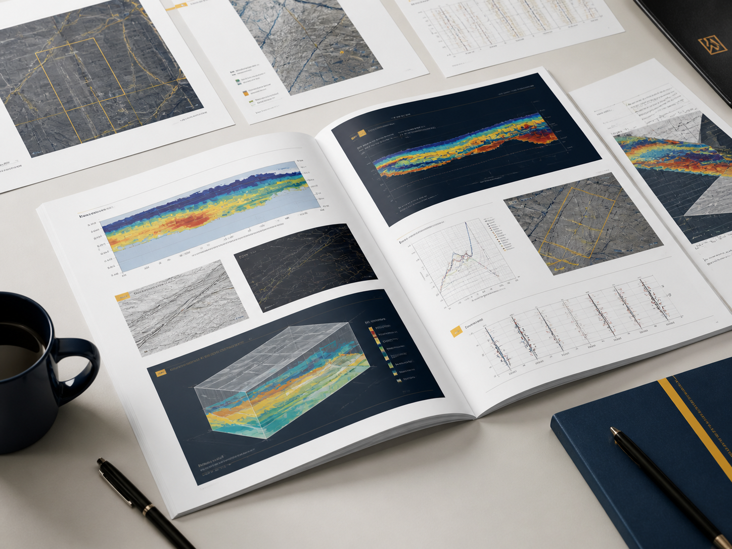
Groundwatch converts field data into visual, practical, and engineering-ready deliverables.
Sample Output
Underground conditions mapped and ready for engineering decisions.
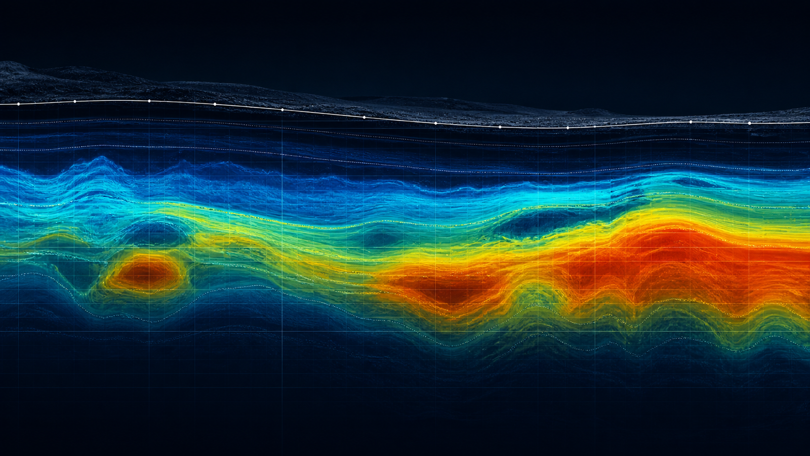
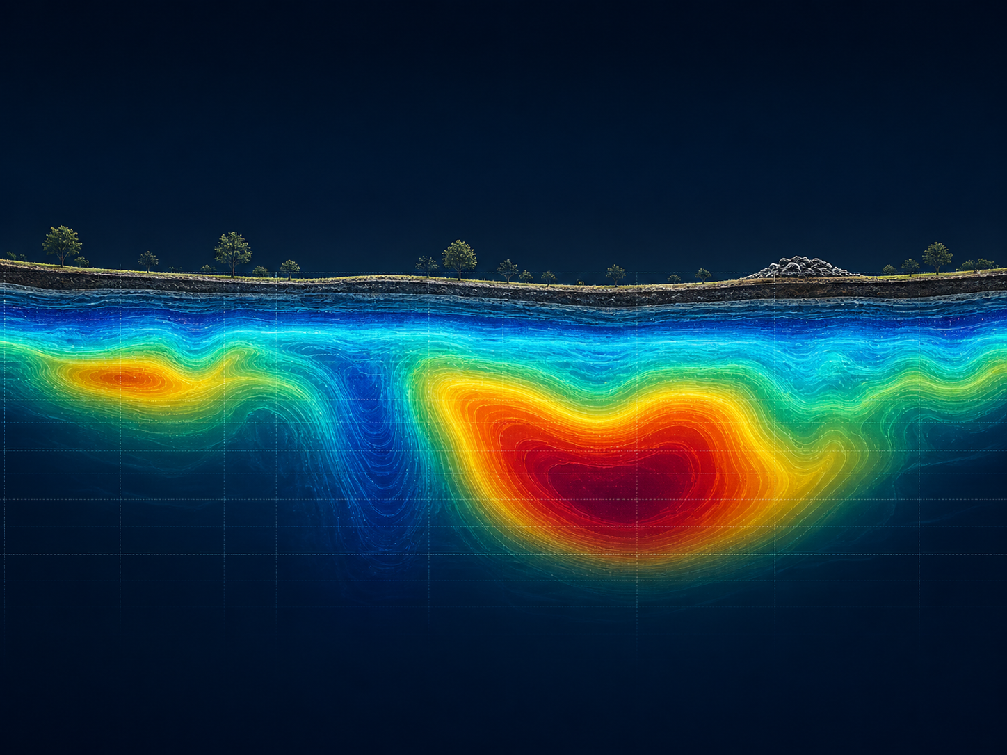
2D Cross-Section
Color-coded underground profile
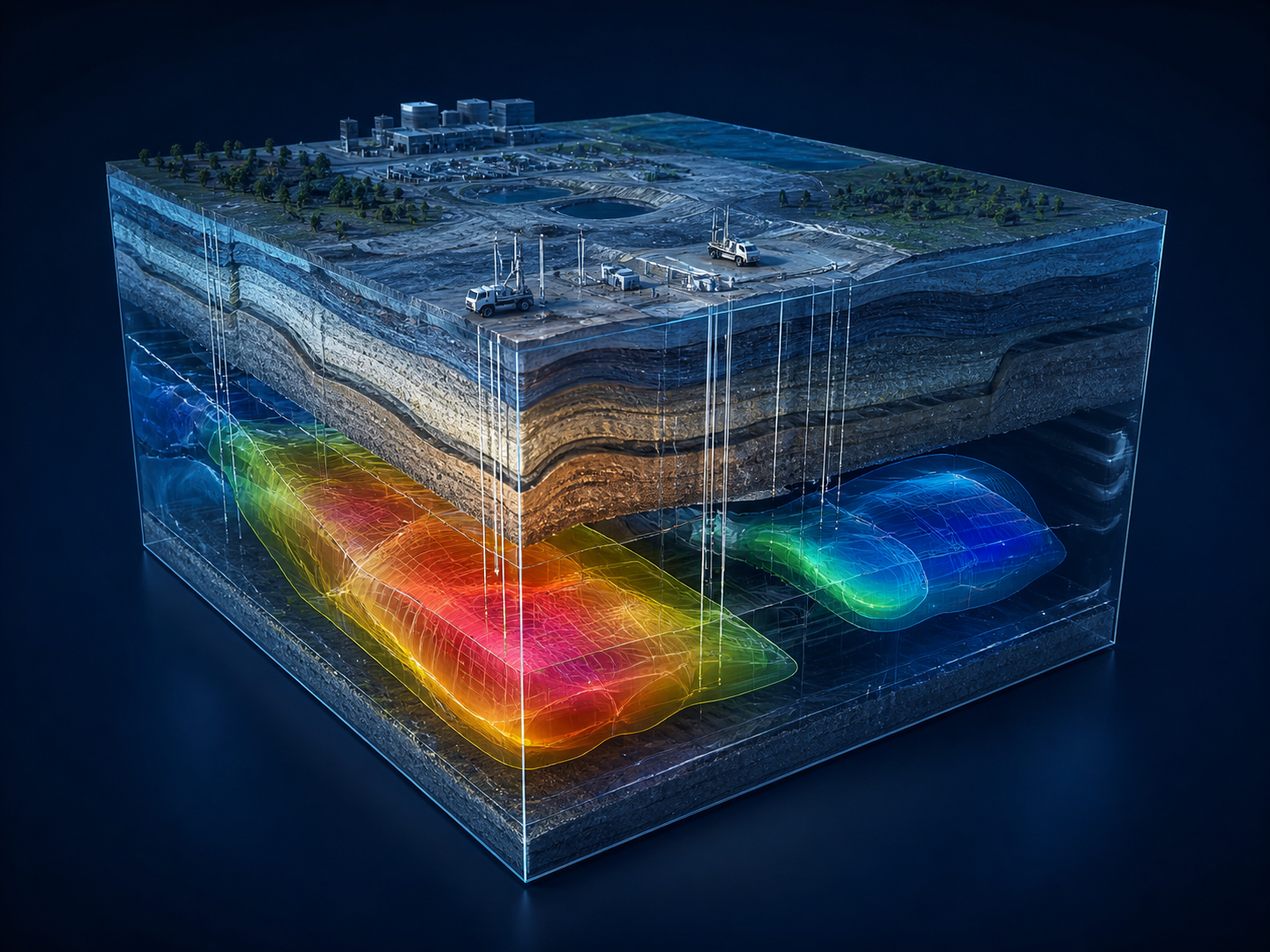
3D Underground Model
Block visualization of ground layers
Underground Map
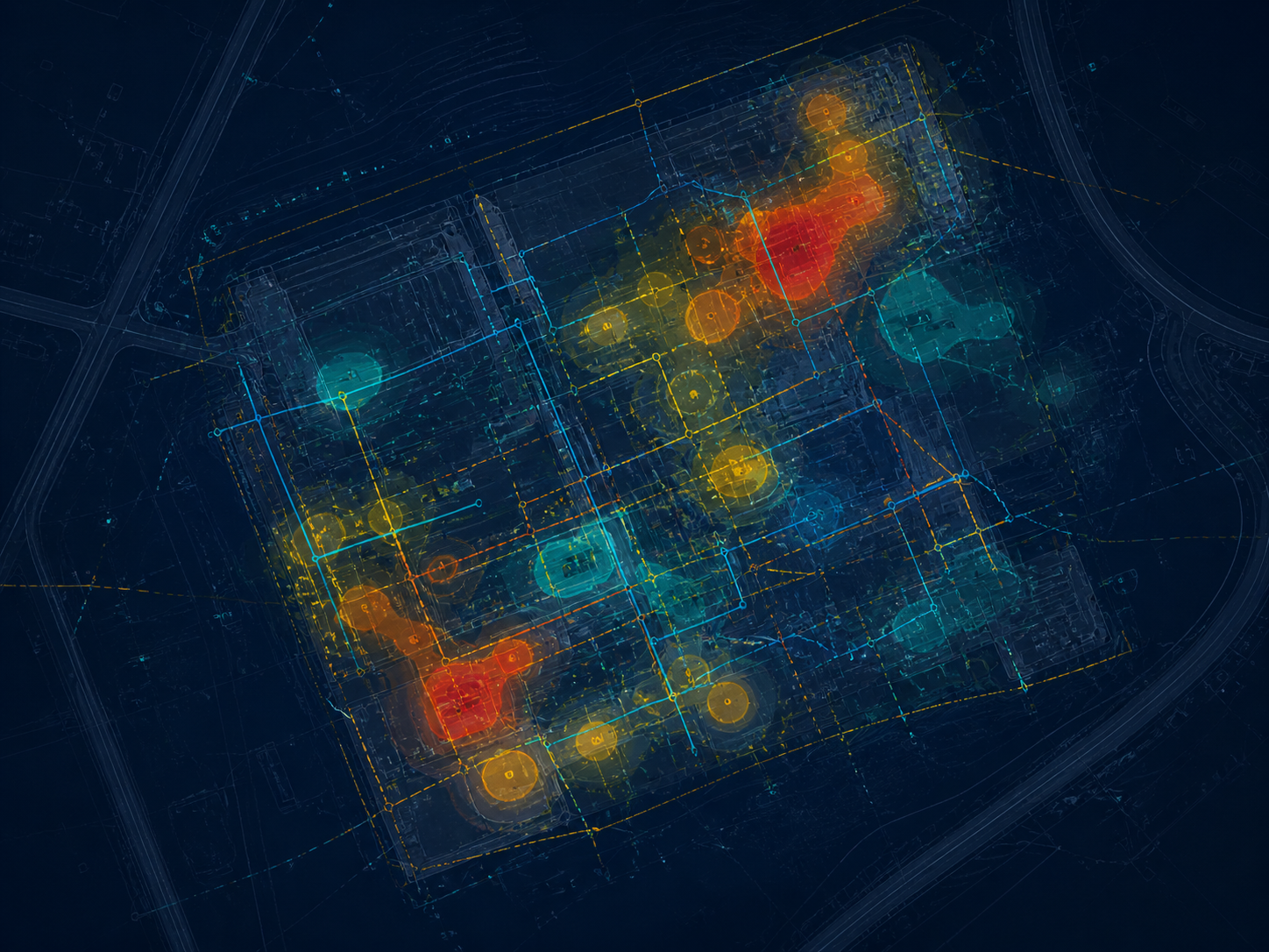
Plan view of targets and risk zones
Technical Report
Interpretation, limits, and recommendations
Output types vary by survey method, site conditions, and project objective. Contact us to discuss specific deliverables for your project.
What We Do
We survey the ground, process the data, and turn hidden conditions into clear decisions.
Geophysical Services
Subsurface survey methods grouped by how they measure the ground.
Different ground problems need different ways of measuring what is below the surface. Groundwatch selects methods based on target depth, site condition, and the engineering question, then integrates results into decision-ready interpretation.
Primary capability
Geophysical surveys come first.
Electrical, electromagnetic, seismic, acoustic, magnetic, gravity, radiometric, thermal, remote-sensing, and monitoring methods form the core catalog. Supporting services strengthen interpretation but stay secondary to measured geophysical evidence.
Method selection
Which geophysical method matches the project problem.
What each method helps identify in the subsurface.
Where to view methods on this page or open the full catalog.
Start on this page, then open the full catalog only if you need the complete directory.
This preview includes priority geophysical methods and key supporting services so homepage visitors can act without leaving the page flow.
Electrical and Resistivity Surveys
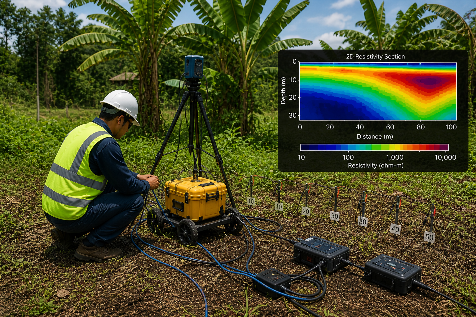
Electrical Resistivity Imaging (ERI / ERT)
Electrical Resistivity Imaging and ERT survey services in the Philippines for groundwater targeting, seepage investigation, foundation screening, and subsurface interpretation.
Common Applications
Electrical resistivity imaging Philippines investigations for groundwater exploration and deep well resistivity survey Philippines planning
Geo-resistivity survey Philippines / georesistivity survey Philippines support for foundation and subgrade assessment
Environmental baseline mapping, seepage investigation, and geohazard-oriented screening
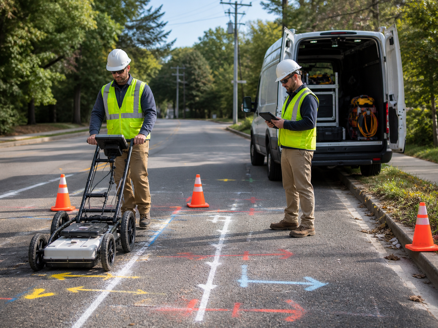
Ground Penetrating Radar survey in the Philippines for underground utility mapping, concrete scanning, pavement GPR, and shallow subsurface investigation support.
Common Applications
Underground utility mapping Philippines for construction and redevelopment
Concrete scanning Philippines for coring, cutting, and retrofit planning
Pavement GPR Philippines and shallow subsurface investigation Philippines for corridor works
Electromagnetic survey services in the Philippines for FDEM, TDEM/TEM, VLF-EM, conductivity mapping, metal detection, and marine or borehole EM applications.
Common Applications
FDEM and VLF-EM reconnaissance for utilities and environmental studies
TDEM/TEM style conductivity mapping in mining and groundwater-related screening
Marine EM and borehole EM support where applicable
Well siting services in the Philippines combining hydrogeological and geophysical interpretation to prioritize drilling targets and reduce groundwater uncertainty.
Common Applications
Municipal and barangay water-supply programs
Industrial and commercial facility water planning
Construction, mining, and energy project water sourcing
The most expensive ground problems are usually discovered too late.
Geophysics helps identify possible underground concerns before they affect safety, cost, schedule, or design.
Without Geophysics
Surface looks ready. Real conditions remain unknown. False confidence leads to unexpected problems.
With Geophysics
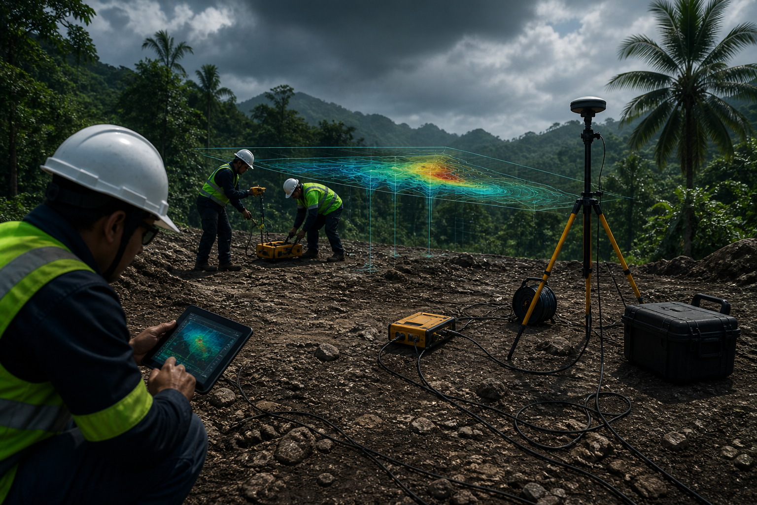
Underground conditions are revealed. Unexpected readings are identified. Risk zones are mapped. Better decisions become possible.
Reduce blind drilling — prioritize boreholes based on survey evidence
Identify weak and wet zones before excavation or foundation work begins
Reduce excavation surprises that cause delays and redesigns
Support design decisions with defensible, investigation-backed ground data
Improve investigation scope — location, depth, and spacing
Reduce unexpected change orders and schedule overruns
Process
A practical workflow from question to decision.
01
Project Scoping
We define the client's objective, site condition, target depth, expected ground issue, and required output.
1 / 9
How We Keep Results Defensible
Field QA / QC
Data quality is checked during acquisition — not just in the office. Noise, poor coupling, and positioning errors are corrected before leaving the site.
Method fit
Survey design is matched to the actual underground problem. Depth range, resolution, and expected ground contrast guide every method and layout decision.
Geology integration
Geophysical results are interpreted together with available geology, borehole data, site observations, and engineering context.
Limitations stated
Every report clearly states what the data can and cannot confirm, and identifies what additional data would improve confidence in the interpretation.
Case Studies
Project examples across industries.
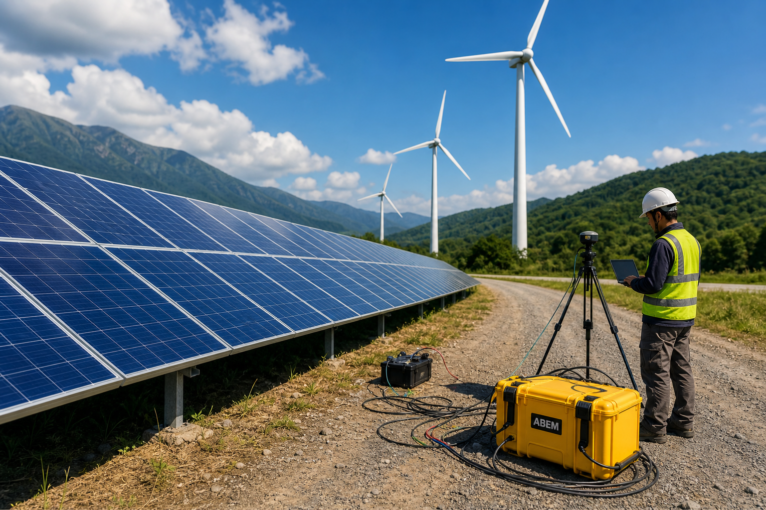
Renewable Energy Site Characterization
Renewable Energy Site Characterization
Problem
Large project area with possible variable ground conditions across the site footprint.
Possible water-bearing zones and structural controls were identified for follow-up validation.
These are sample case studies for structure and layout. Replace them with anonymized real projects, field images, and verified results when available.
Get Started
Need a geophysical survey for your project?
Send your project objective, site location, target depth, and available documents so Groundwatch can recommend the appropriate method based on site condition and decision requirement.
Quotation preparation
Before requesting a quotation, prepare your project location, site plan, target depth, available borehole logs, geotechnical reports, site photos, access limitations, preferred schedule, and required deliverables.
Before requesting a quotation, prepare your project location, site plan, target depth, available borehole logs, geotechnical reports, site photos, access limitations, preferred schedule, and required deliverables.